GPS Map Camera Geotag Location 3.0
Free Version
Publisher Description
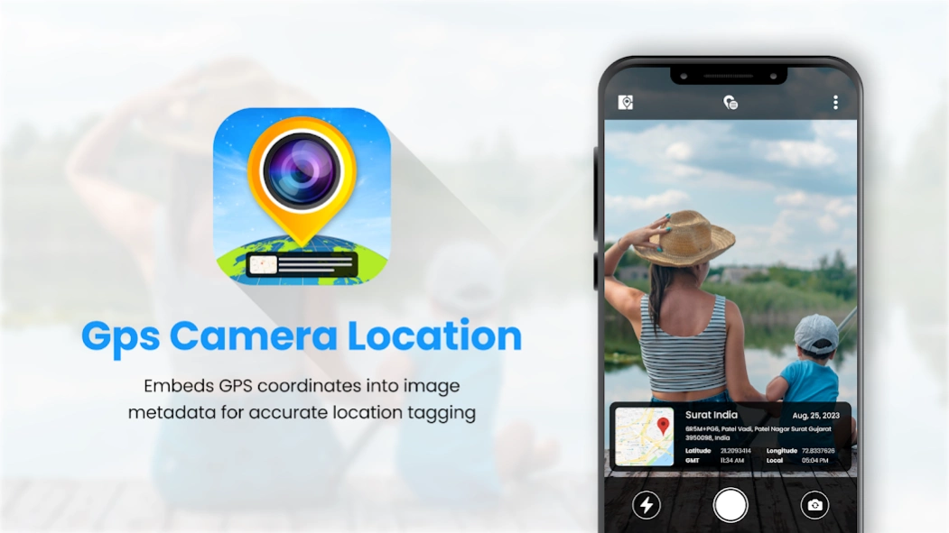
GPS Map Camera Geotag Location - This Application to add tag and share your photos with precise location Data.
GPS Map Camera Geotag Location app is the best way to keep tags of address and precise location on your photo.
GPS Map Camera Geotag Location App is a powerful tool that captures the live location details with the camera.
This app not only helps users keep memories in detail with perfect places but also enhances their photography experience by enabling precise location tagging.
This GPS Map Camera Geotag Location will provide all the current location details with tags in photos and you can save all your created files into my creation folder.
The GPS Map Camera Geotag Location App is the best tool for anyone who wishes to navigate the world with precision, document their journeys, and enhance their photography experience.
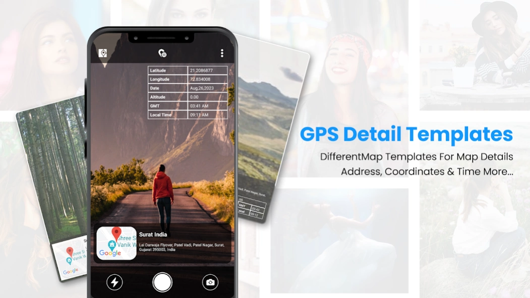
Now enhance your anytime photography by using this amazing GPS Camera Location tool which allows a variety of tag templates to enhance your photography with the best tags.
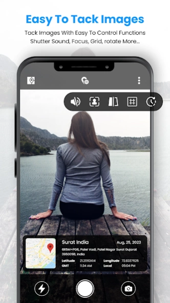
Simple and easy-to-use app allows you to cover live location details in a photo clip.
GPS Map Camera Geotag Location also provides map data in which you find the exact location where you are and also find the latitude, longitude, address, city, state, and country details with just a click.
One of the best ways to create and save the memories where you travel last.
Features of the GPS Map Camera Geotag Location App
The app provides users with accurate GPS navigation
The app can pinpoint your location and provide turn-by-turn directions
App allows to add tag the exact location where a photo was taken
Easily shared with friends and social media followers
Easy to add tags to photos
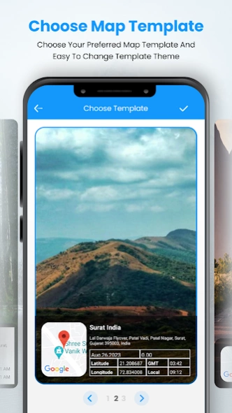
Find different tags template collection
Easy to save collected images in the app creation folder
Map Data to find accurate locations on map
Add tag details like latitude, longitude, date, altitude, GSM, location address, and time
Clear UI Design and easy-to-use app.
About GPS Map Camera Geotag Location
GPS Map Camera Geotag Location is a free app for Android published in the Screen Capture list of apps, part of Graphic Apps.
The company that develops GPS Map Camera Geotag Location is GrowUp Infotech. The latest version released by its developer is 3.0.
To install GPS Map Camera Geotag Location on your Android device, just click the green Continue To App button above to start the installation process. The app is listed on our website since 2023-12-28 and was downloaded 0 times. We have already checked if the download link is safe, however for your own protection we recommend that you scan the downloaded app with your antivirus. Your antivirus may detect the GPS Map Camera Geotag Location as malware as malware if the download link to com.chigrow.gpscameralocation is broken.
How to install GPS Map Camera Geotag Location on your Android device:
- Click on the Continue To App button on our website. This will redirect you to Google Play.
- Once the GPS Map Camera Geotag Location is shown in the Google Play listing of your Android device, you can start its download and installation. Tap on the Install button located below the search bar and to the right of the app icon.
- A pop-up window with the permissions required by GPS Map Camera Geotag Location will be shown. Click on Accept to continue the process.
- GPS Map Camera Geotag Location will be downloaded onto your device, displaying a progress. Once the download completes, the installation will start and you'll get a notification after the installation is finished.
